


The United Nations has warned that the world is entering a period of heightened extreme weather risks as a potentially powerful El Niño event develops across the Pacific Ocean.
UN Secretary-General António Guterres warned that the phenomenon could have far-reaching effects as its influence on global weather patterns becomes stronger. The World Meteorological Organization (WMO) said the event could become the strongest El Niño in more than 70 years and may continue until at least February 2027.
El Niño is a naturally occurring climate phenomenon that develops when changes in Pacific Ocean temperatures and wind patterns cause unusually warm water to move eastward. The resulting release of heat into the atmosphere can alter weather patterns across large parts of the world.
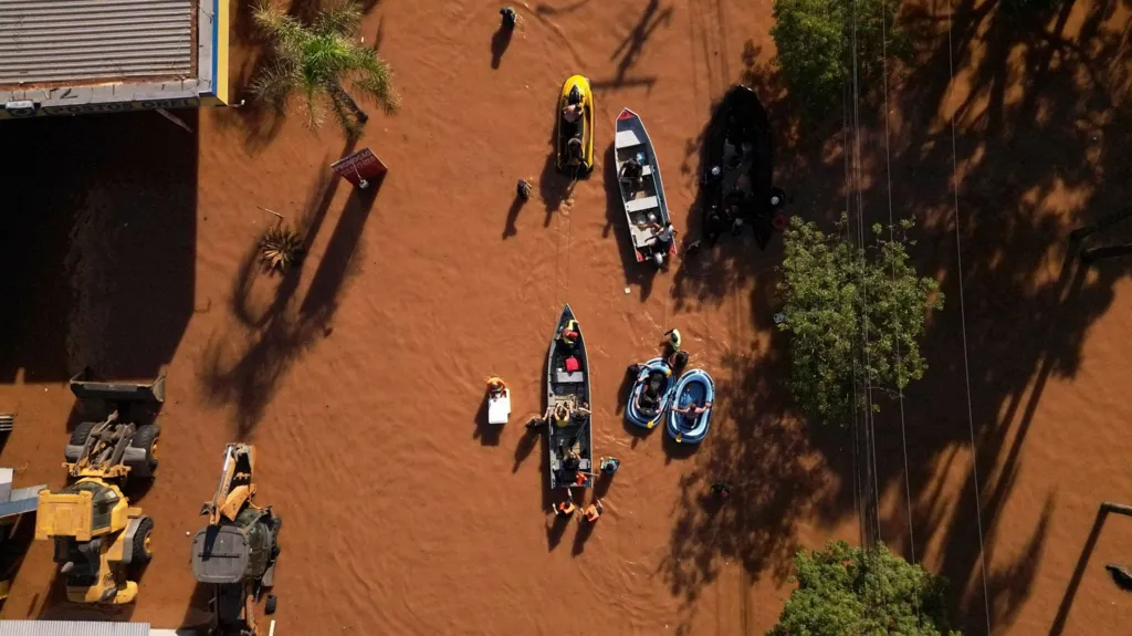
Its effects vary by region. Some areas can experience severe drought, while others may face heavier rainfall, flooding and stronger tropical storms. El Niño can also contribute to higher temperatures, adding to the warming already driven by human-induced climate change.

The WMO said sea surface temperatures in the central and eastern tropical Pacific have risen sharply in recent months. In a key monitoring region, temperatures have been more than 2°C above average in recent weeks, putting the event on track to reach the ‘very strong’ category.
Forecasts suggest monthly sea surface temperatures could approach 4°C above average, potentially making this the strongest El Niño since at least 1950 and possibly by a significant margin.
The WMO has launched what it described as a major mobilization to distribute forecasts and warnings about potential El Niño-related extreme weather to communities around the world. WMO Secretary-General Celeste Saulo warned that the phenomenon could have a major impact on communities and economies.
Governments and communities are being urged to use climate forecasts and early warnings to prepare for potential risks associated with the developing event.